Geolocate

Cenad topographic map

Click on the map to display elevation.

About this map

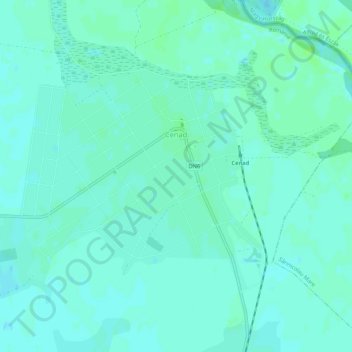
Name: Cenad topographic map, elevation, terrain.

Location: Cenad, Timiș, Romania (46.12203 20.54533 46.14426 20.59797)

Average elevation: 86 m

Minimum elevation: 82 m

Maximum elevation: 91 m

Gear up for your next adventure:

🧢Beanie Hat - Keep your head warm in cold weather
🧦Hiking Liner Socks - Thin base layer to prevent friction and blisters
🥾Hiking Boots - Sturdy boots providing ankle support and traction on rugged trails
🥾Light Hiking Boots - Lightweight and comfortable boots for day hikes
🥾All-Terrain Hiking Boots - Versatile boots for varied hiking conditions

As an Amazon Associate, this site earns from qualifying purchases at no extra cost to you.