Geolocate

Mottalunga topographic map

Click on the map to display elevation.

About this map

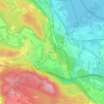
Name: Mottalunga topographic map, elevation, terrain.

Location: Mottalunga, Comignago, Novara, Piemonte, 6, Italia (45.69360 8.55511 45.73360 8.59511)

Average elevation: 269 m

Minimum elevation: 191 m

Maximum elevation: 382 m

Gear up for your next adventure:

🍽️Titanium Camping Spork - Ultralight and indestructible eating utensil
🏕️Camping Hammock - Integrated protection for sleeping between trees
🌡️Emergency Mylar Blankets - Compact thermal protection for unexpected nights outdoors
🥾Light Trekking Boots - Supportive boots for multi-day treks
🧶550 Survival Paracord - Versatile utility cord for emergency repairs and rigging

As an Amazon Associate, this site earns from qualifying purchases at no extra cost to you.