
South Hill topographic map
Click on the map to display elevation.
About this map
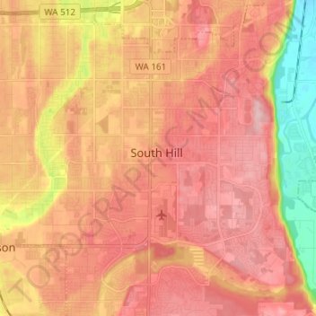
Name: South Hill topographic map, elevation, terrain.
Location: South Hill, Pierce County, Washington, United States (47.07811 -122.33750 47.16107 -122.23533)
Average elevation: 140 m
Minimum elevation: 29 m
Maximum elevation: 203 m
Other topographic maps
Click on a map to view its topography, its elevation and its terrain.
Charlotte's Blueberry Park
United States > Washington > Pierce County > Tacoma
Average elevation: 121 m