
Thank you for supporting this site ❤️
Make a donation
Make a donation
Gear up for your next adventure:
As an Amazon Associate, this site earns from qualifying purchases at no extra cost to you.
Pegognaga topographic map
Click on the map to display elevation.
Thank you for supporting this site ❤️
Make a donation
Make a donation
Gear up for your next adventure:
As an Amazon Associate, this site earns from qualifying purchases at no extra cost to you.
About this map
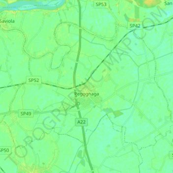
Name: Pegognaga topographic map, elevation, terrain.
Location: Pegognaga, Mantua, Lombardy, 46020, Italy (44.96621 10.79576 45.03339 10.92388)
Average elevation: 17 m
Minimum elevation: 11 m
Maximum elevation: 28 m
Thank you for supporting this site ❤️
Make a donation
Make a donation
Gear up for your next adventure:
As an Amazon Associate, this site earns from qualifying purchases at no extra cost to you.
Other topographic maps
Click on a map to view its topography, its elevation and its terrain.
Castiglione delle Stiviere
Italy > Lombardy > Mantua > Castiglione delle Stiviere > Castiglione delle Stiviere
Average elevation: 107 m