

Elizondo topographic map
Click on the map to display elevation.
Elizondo
La localidad de Elizondo está situada en el centro del valle de Baztán, a ambos lados del río Baztán o Bidasoa y a una altitud de 200 m s. n. m. Limita al norte con Azpilcueta, al sur con Aríztegui de Garzáin, al este con Elvetea y al oeste con Lecároz.
About this map
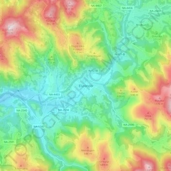
Name: Elizondo topographic map, elevation, terrain.
Location: Elizondo, Baztán, Baztan-Bidasoa, Navarra, 31700, España (43.10633 -1.55838 43.18633 -1.47838)
Average elevation: 406 m
Minimum elevation: 162 m
Maximum elevation: 853 m