
Sukabumi topographic map
Interactive map
Click on the map to display elevation.
About this map
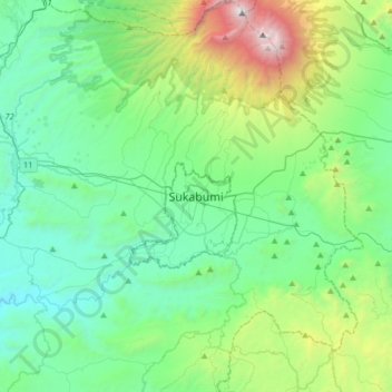
Name: Sukabumi topographic map, elevation, terrain.
Location: Sukabumi, Java occidental, 43113, Indonésie (-7.07993 106.76651 -6.75993 107.08651)
Average elevation: 800 m
Minimum elevation: 185 m
Maximum elevation: 2,997 m
Other topographic maps
Click on a map to view its topography, its elevation and its terrain.
Gunung Gede
Indonésie > Java occidental > Sukabumi
Gunung Gede, Sukabumi, Java occidental, Indonésie
Average elevation: 2,586 m