Geolocate

Beachwalk topographic map

Click on the map to display elevation.

About this map

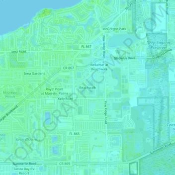
Name: Beachwalk topographic map, elevation, terrain.

Location: Beachwalk, Iona, Lee County, Florida, 33908, United States (26.49139 -81.96010 26.53139 -81.92010)

Average elevation: 3 m

Minimum elevation: -3 m

Maximum elevation: 9 m

Other topographic maps

Click on a map to view its topography, its elevation and its terrain.

Iona

United States > Florida > Lee County > Iona

Average elevation: 2 m

Gear up for your next adventure:

🥾Waterproof Trail Shoes - Shoes designed to handle wet terrain
🪑Ultralight Camping Stool - Compact seating for rest stops during long hikes
Camping Essentials - All-in-one gear for a comfortable camping trip
👟Sport Hiking Sandals - Breathable footwear for water crossings and camp rest
🥾Lightweight Hiking Boots - Boots for comfort and mobility on long hikes

As an Amazon Associate, this site earns from qualifying purchases at no extra cost to you.