Geolocate

Satyanagar topographic map

Click on the map to display elevation.

About this map

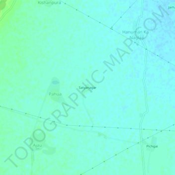
Name: Satyanagar topographic map, elevation, terrain.

Location: Satyanagar, Pahua, Kumher Tehsil, Deeg, Rajasthan, India (27.23835 77.33753 27.27835 77.37753)

Average elevation: 181 m

Minimum elevation: 178 m

Maximum elevation: 188 m

Gear up for your next adventure:

🥾Hiking Gaiters - Protect legs and shoes from mud, snow, and debris
🛌Insulated Sleeping Pad - Critical thermal barrier between you and the cold ground
🛶Canoe Life Vest - Safety vest for water sports
📷Outdoor Action Camera - Capture high-elevation views and rugged adventures
🔨Vehicle Emergency Tool - Safety tool for remote road trips to trailheads

As an Amazon Associate, this site earns from qualifying purchases at no extra cost to you.