Geolocate

Tuljapur topographic map

Click on the map to display elevation.

Tuljapur

It has an elevation of 648 metres (2125 feet).

About this map

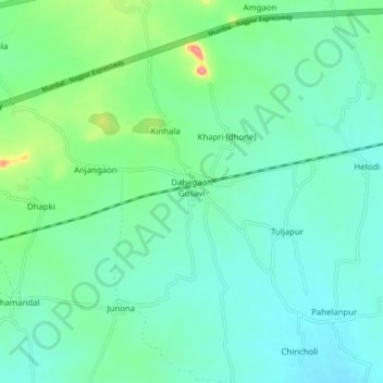
Name: Tuljapur topographic map, elevation, terrain.

Location: Tuljapur, Seloo, Wardha, Maharashtra, India (20.75889 78.76602 20.83889 78.84602)

Average elevation: 256 m

Minimum elevation: 231 m

Maximum elevation: 347 m

Gear up for your next adventure:

🔦LED Flashlight - Powerful and long-lasting flashlight for camping and emergencies
🧊Insulated Water Bottle - Keeps drinks cold in summer and prevents freezing in winter
🧤Thermal Hiking Gloves - Grip-enhanced gloves for cold-weather altitude trekking
🧥Thermal Fleece Jacket - Versatile insulation for changing mountain temperatures
🥾Mountaineering Boots - Supportive boots for climbing and high-altitude hiking

As an Amazon Associate, this site earns from qualifying purchases at no extra cost to you.