Geolocate

Rigi First topographic map

Click on the map to display elevation.

About this map

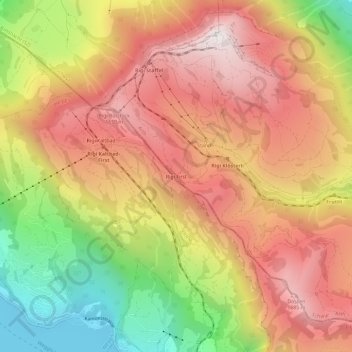
Name: Rigi First topographic map, elevation, terrain.

Location: Rigi First, Arth, Schwyz, 6356, Switzerland (47.02060 8.45873 47.06060 8.49873)

Average elevation: 1,198 m

Minimum elevation: 426 m

Maximum elevation: 1,791 m

Other topographic maps

Click on a map to view its topography, its elevation and its terrain.

Arth

Switzerland > Schwyz > Schwyz > Arth

Average elevation: 865 m

Gear up for your next adventure:

🧴Outdoor Sunscreen - High SPF protection for high-altitude UV exposure
🧥Softshell Hiking Jacket - The perfect balance of wind protection and breathability
🥾Waterproof Hiking Shoes - Durable shoes for wet and rugged trails
🧢Hiking Hat - Sun-protective and breathable hats for long treks
🌡️Emergency Mylar Blankets - Compact thermal protection for unexpected nights outdoors

As an Amazon Associate, this site earns from qualifying purchases at no extra cost to you.