Geolocate

Collpa topographic map

Click on the map to display elevation.

About this map

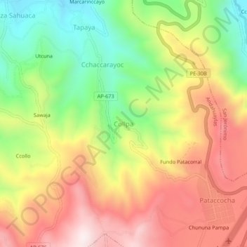
Name: Collpa topographic map, elevation, terrain.

Location: Collpa, Andahuaylas, Apurímac, Perú (-13.71015 -73.38910 -13.67015 -73.34910)

Average elevation: 3,373 m

Minimum elevation: 3,034 m

Maximum elevation: 3,706 m

Other topographic maps

Click on a map to view its topography, its elevation and its terrain.

Andahuaylas

Perú > Apurímac > Andahuaylas

Average elevation: 3,818 m

Gear up for your next adventure:

🧳Compression Sacks - Maximize space in your backpack by shrinking gear
🧢Beanie Hat - Keep your head warm in cold weather
🥾Trail Running Boots - Durable shoes designed for trail running
📷Outdoor Action Camera - Capture high-elevation views and rugged adventures
🥾Trail Hiking Boots - Supportive boots for rough trails

As an Amazon Associate, this site earns from qualifying purchases at no extra cost to you.