Geolocate

Jacinto topographic map

Click on the map to display elevation.

About this map

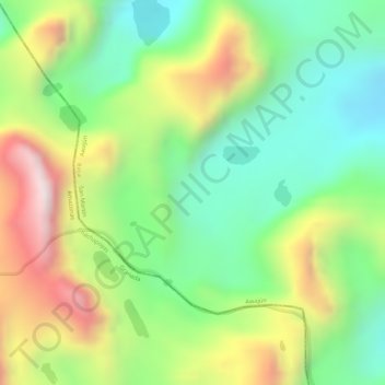
Name: Jacinto topographic map, elevation, terrain.

Location: Jacinto, Awajún, Rioja, San Martín, Perú (-6.05459 -77.55997 -6.03459 -77.53997)

Average elevation: 3,611 m

Minimum elevation: 3,379 m

Maximum elevation: 3,928 m

Gear up for your next adventure:

🥾Mountain Trail Shoes - High-traction shoes for mountain trails
🧊Portable Cooler - Keep food and drinks cold during outdoor adventures
💧Reusable Water Bottle - Durable water bottles for hydration on trails
🥾Mountaineering Boots - Supportive boots for climbing and high-altitude hiking
🥾Hiking Boots - Sturdy boots providing ankle support and traction on rugged trails

As an Amazon Associate, this site earns from qualifying purchases at no extra cost to you.