Geolocate

Amsipit topographic map

Click on the map to display elevation.

About this map

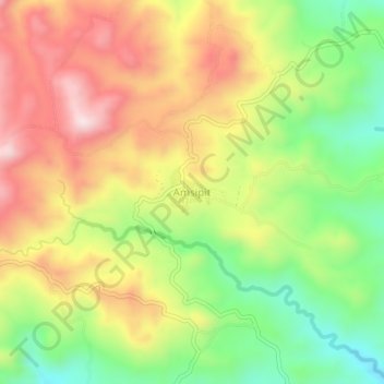
Name: Amsipit topographic map, elevation, terrain.

Location: Amsipit, Maasim, Sarangani, Soccsksargen, 9502, Philippines (5.89270 124.98470 5.93270 125.02470)

Average elevation: 499 m

Minimum elevation: 271 m

Maximum elevation: 734 m

Gear up for your next adventure:

🥫Freeze-Dried Meals - Lightweight, high-calorie nutrition for multi-day treks
Tent Footprint - Protect tent floor and increase durability
🥾Trail Hiking Shoes - Durable shoes designed for rugged trails
🚲Bike Repair Kit - Essential tools for on-trail mechanical issues
🛁Quick-Dry Microfiber Towel - Space-saving towel that dries rapidly on the move

As an Amazon Associate, this site earns from qualifying purchases at no extra cost to you.