
Fasa topographic map
Interactive map
Click on the map to display elevation.
About this map
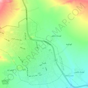
Name: Fasa topographic map, elevation, terrain.
Location: Fasa, بخش مرکزی, شهرستان فسا, Fars, 74617-31991, Iran (28.91774 53.58418 28.98742 53.66968)
Average elevation: 1,391 m
Minimum elevation: 1,326 m
Maximum elevation: 1,531 m