Geolocate

Cayo Sal topographic map

Click on the map to display elevation.

About this map

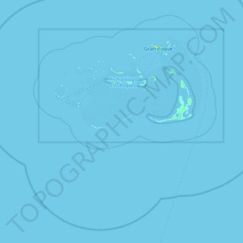
Name: Cayo Sal topographic map, elevation, terrain.

Location: Cayo Sal, Archipiélago Los Roques, Federal Dependencies, Venezuela (11.43521 -67.09575 12.07521 -66.45575)

Average elevation: 0 m

Minimum elevation: 0 m

Maximum elevation: 65 m

Other topographic maps

Click on a map to view its topography, its elevation and its terrain.

Gear up for your next adventure:

🛰️Satellite Messenger - Emergency communication for areas with no cell service
🥾Mountain Trail Shoes - High-traction shoes for mountain trails
🥾Hiking Boots - Sturdy boots providing ankle support and traction on rugged trails
❄️Traction Ice Cleats - Slip-on spikes for icy trails and winter hiking
🛶Kayak Accessories - Essential gear for safe and fun kayaking adventures

As an Amazon Associate, this site earns from qualifying purchases at no extra cost to you.