Geolocate

Grönviken topographic map

Click on the map to display elevation.

About this map

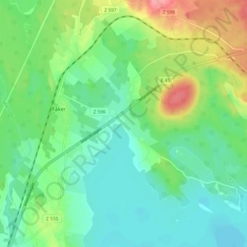
Name: Grönviken topographic map, elevation, terrain.

Location: Grönviken, Fåker, Östersunds kommun, Jämtlands län, Sverige (62.96964 14.57964 63.00964 14.61964)

Average elevation: 346 m

Minimum elevation: 318 m

Maximum elevation: 409 m

Gear up for your next adventure:

🧴Bear Spray Holster - Quick-access carry for essential Canadian wilderness safety
🕶️Polarized Sunglasses - Protect your eyes with durable polarized lenses
🧢Hiking Hat - Sun-protective and breathable hats for long treks
🦯Trekking Poles - Reduced impact on joints for steep topographic climbs
💧Reusable Water Bottle - Durable water bottles for hydration on trails

As an Amazon Associate, this site earns from qualifying purchases at no extra cost to you.