

Alhambra topographic map
Click on the map to display elevation.
Alhambra
During the reign of the Nasrid Dynasty, the Alhambra was transformed into a palatine city, complete with an irrigation system composed of aqueducts and water channels that provided water for the complex and for other nearby countryside palaces such as the Generalife. Previously, the old fortresses on the hill had been dependent on rainwater collected from the cistern near the Alcazaba and on what could be brought up from the Darro River below. The creation of the Sultan's Canal (Arabic: ساقلتة السلطان, romanized: Saqiyat al-Sultan), which brought water from the mountains to the east, solidified the identity of the Alhambra as a palace-city rather than a defensive and ascetic structure. This first hydraulic system was expanded afterwards and included two long water channels and several sophisticated elevation devices to bring water onto the plateau.
About this map
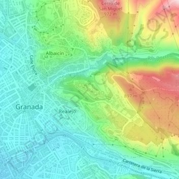
Name: Alhambra topographic map, elevation, terrain.
Average elevation: 759 m
Minimum elevation: 659 m
Maximum elevation: 971 m