Geolocate

Marbachegg topographic map

Click on the map to display elevation.

About this map

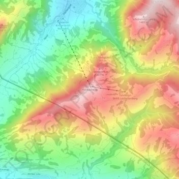
Name: Marbachegg topographic map, elevation, terrain.

Location: Marbachegg, Escholzmatt-Marbach, Lucerne, 6196, Switzerland (46.81459 7.88582 46.85459 7.92582)

Average elevation: 1,159 m

Minimum elevation: 864 m

Maximum elevation: 1,492 m

Gear up for your next adventure:

🧢Sun Hat - Wide-brim hat for sun protection
💡Portable Camping Lamp - Rechargeable lamp for campsite lighting
❄️Traction Ice Cleats - Slip-on spikes for icy trails and winter hiking
🥾Mountain Hiking Shoes - Shoes with superior grip for mountainous terrain
🧥Softshell Hiking Jacket - The perfect balance of wind protection and breathability

As an Amazon Associate, this site earns from qualifying purchases at no extra cost to you.