
Saint-Patrice-de-Beaurivage topographic map
Interactive map
Click on the map to display elevation.
About this map
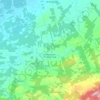
Name: Saint-Patrice-de-Beaurivage topographic map, elevation, terrain.
Average elevation: 215 m
Minimum elevation: 139 m
Maximum elevation: 546 m
Quebec trails, hiking, mountain biking, running and outdoor activities