
Make a donation
Gear up for your next adventure:
As an Amazon Associate, this site earns from qualifying purchases at no extra cost to you.
Altenoythe topographic map
Click on the map to display elevation.
Make a donation
Gear up for your next adventure:
As an Amazon Associate, this site earns from qualifying purchases at no extra cost to you.
Altenoythe
Ahrensdorf | Altenoythe | Augustendorf | Edewechterdamm | Ellerbrock | Friesoythe | Gehlenberg | Heinfelde | Kampe | Kamperfehn | Markhausen | Mehrenkamp | Neuscharrel | Neuvrees | Pehmertange | Schlingshöhe | Schwaneburg | Schwaneburgermoor | Thüle
Make a donation
Gear up for your next adventure:
As an Amazon Associate, this site earns from qualifying purchases at no extra cost to you.
About this map
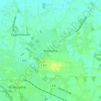
Name: Altenoythe topographic map, elevation, terrain.
Average elevation: 9 m
Minimum elevation: 3 m
Maximum elevation: 20 m
Make a donation
Gear up for your next adventure:
As an Amazon Associate, this site earns from qualifying purchases at no extra cost to you.