Make a donation
Gear up for your next adventure:
As an Amazon Associate, this site earns from qualifying purchases at no extra cost to you.
Lower Burrell topographic map
Click on the map to display elevation.
Make a donation
Gear up for your next adventure:
As an Amazon Associate, this site earns from qualifying purchases at no extra cost to you.
About this map
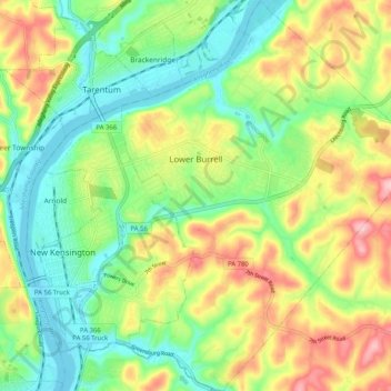
Name: Lower Burrell topographic map, elevation, terrain.
Average elevation: 296 m
Minimum elevation: 224 m
Maximum elevation: 408 m
Make a donation
Gear up for your next adventure:
As an Amazon Associate, this site earns from qualifying purchases at no extra cost to you.
Other topographic maps
Click on a map to view its topography, its elevation and its terrain.
Acme
United States > Pennsylvania > Westmoreland County > Mount Pleasant Township > Acme
Average elevation: 585 m
Maplewood Terrace
United States > Pennsylvania > Westmoreland County > Hempfield Township > Maplewood Terrace
Average elevation: 346 m
Southwest
United States > Pennsylvania > Westmoreland County > Mount Pleasant Township > Southwest
Average elevation: 336 m
Skunk Pond (Elevation 1100 feet)
United States > Pennsylvania > Westmoreland County > Murrysville
Average elevation: 323 m
Make a donation
Gear up for your next adventure:
As an Amazon Associate, this site earns from qualifying purchases at no extra cost to you.
