Geolocate

Agiaon topographic map

Click on the map to display elevation.

About this map

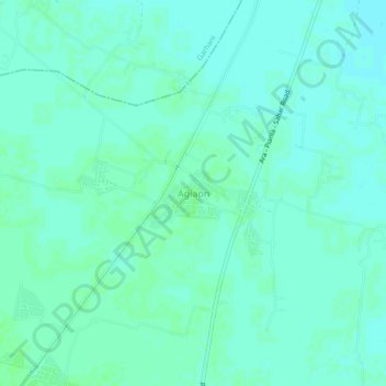
Name: Agiaon topographic map, elevation, terrain.

Location: Agiaon, Bhojpur, Bihar, 802201, India (25.35774 84.58964 25.39774 84.62964)

Average elevation: 69 m

Minimum elevation: 66 m

Maximum elevation: 72 m

Gear up for your next adventure:

🪑Insulated Seat Pad - Protect your seat from cold rocks and wet logs
🥾Hiking Leggings - Comfortable leggings for outdoor activities
🧥Packable Rain Jacket - Breathable waterproof layer for unpredictable weather
🧢Sun Protection Cap - Breathable cap to protect from sun exposure
Camping Tent - Weather-resistant tents suitable for 2 to 6 people

As an Amazon Associate, this site earns from qualifying purchases at no extra cost to you.