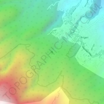
Air Terjun Kakek Bodo topographic map
Interactive map
Click on the map to display elevation.
About this map
Name: Air Terjun Kakek Bodo topographic map, elevation, terrain.
Average elevation: 947 m
Minimum elevation: 569 m
Maximum elevation: 1,556 m

Click on the map to display elevation.
Name: Air Terjun Kakek Bodo topographic map, elevation, terrain.
Average elevation: 947 m
Minimum elevation: 569 m
Maximum elevation: 1,556 m