
Cleland topographic map
Interactive map
Click on the map to display elevation.
About this map
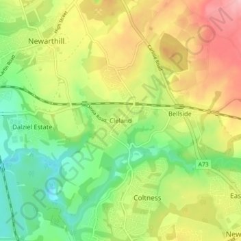
Name: Cleland topographic map, elevation, terrain.
Location: Cleland, North Lanarkshire, Escocia, ML1 5QN, Reino Unido (55.78172 -3.93565 55.82172 -3.89565)
Average elevation: 145 m
Minimum elevation: 81 m
Maximum elevation: 225 m