
Charkhari topographic map
Click on the map to display elevation.
Charkhari
Charkhari is located at 25°24′N 79°45′E / 25.4°N 79.75°E / 25.4; 79.75. It has an average elevation of 184 metres (603 feet). Charkhari is also known as the 'Kashmir of Bundelkhand'. The town is surrounded by many lakes. There are lakes named Vijay Sagar, Malkhan Sagar, Vanshi Sagar, Jai Sagar, Ratan Sagar and Kothi Tal.
About this map
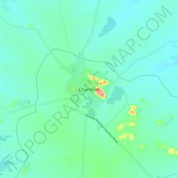
Name: Charkhari topographic map, elevation, terrain.
Location: Charkhari, Mahoba, Uttar Pradesh, 210421, India (25.36205 79.71027 25.44205 79.79027)
Average elevation: 185 m
Minimum elevation: 164 m
Maximum elevation: 283 m