
Wyre topographic map
Interactive map
Click on the map to display elevation.
About this map
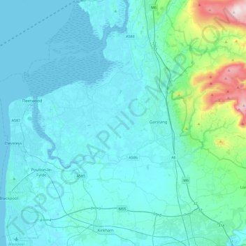
Name: Wyre topographic map, elevation, terrain.
Location: Wyre, Lancs, North West England, Inglaterra, Reino Unido (53.81997 -3.06943 53.98023 -2.61340)
Average elevation: 58 m
Minimum elevation: 0 m
Maximum elevation: 561 m