
Highway Hills topographic map
Interactive map
Click on the map to display elevation.
About this map
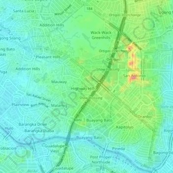
Name: Highway Hills topographic map, elevation, terrain.
Location: Highway Hills, Mandaluyong, Metro Manila, 1554, Philippines (14.56048 121.03039 14.60048 121.07039)
Average elevation: 26 m
Minimum elevation: 1 m
Maximum elevation: 100 m