
Bradford topographic map
Interactive map
Click on the map to display elevation.
About this map
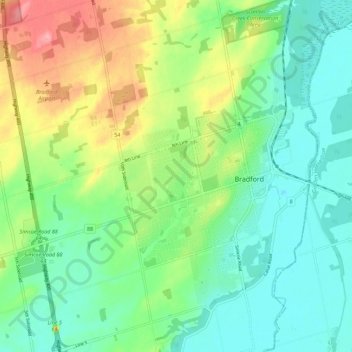
Name: Bradford topographic map, elevation, terrain.
Location: Bradford, Simcoe County, Ontario, L3Z 0J2, Canada (44.07494 -79.62782 44.15494 -79.54782)
Average elevation: 250 m
Minimum elevation: 210 m
Maximum elevation: 335 m
Ontario trails, hiking, mountain biking, running and outdoor activities