
Curtea de Argeș topographic map
Interactive map
Click on the map to display elevation.
About this map
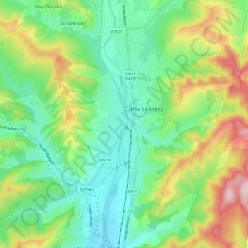
Name: Curtea de Argeș topographic map, elevation, terrain.
Location: Curtea de Argeș, Argeș, 115300, Roumanie (45.10400 24.63219 45.18014 24.70130)
Average elevation: 499 m
Minimum elevation: 389 m
Maximum elevation: 719 m
Other topographic maps
Click on a map to view its topography, its elevation and its terrain.