Geolocate

Darnytskyi district topographic map

Click on the map to display elevation.

About this map

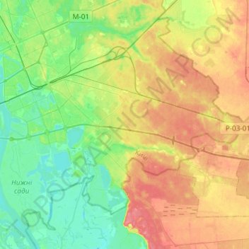
Name: Darnytskyi district topographic map, elevation, terrain.

Location: Darnytskyi district, Kyiv, Ukraine (50.33727 30.58327 50.46990 30.82636)

Average elevation: 113 m

Minimum elevation: 87 m

Maximum elevation: 148 m

Gear up for your next adventure:

💡LED Headlamp - Hands-free illumination for night hiking and camping
🥾Trekking Boots - Durable boots for long-distance trekking
🔥Camping Stove - Portable stoves to cook outdoors with ease
🕯️Camping Lantern - Illuminates your entire campsite with high-efficiency LEDs
🍽️Titanium Camping Spork - Ultralight and indestructible eating utensil

As an Amazon Associate, this site earns from qualifying purchases at no extra cost to you.