Geolocate

El Edén topographic map

Click on the map to display elevation.

About this map

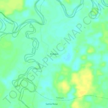
Name: El Edén topographic map, elevation, terrain.

Location: El Edén, Yantalo, Moyobamba, San Martín, Perú (-5.96829 -77.15365 -5.92829 -77.11365)

Average elevation: 808 m

Minimum elevation: 800 m

Maximum elevation: 820 m

Gear up for your next adventure:

🧴Waterproofing Spray - Restore the DWR coating on jackets and tents
🥾Mountain Hiking Boots - High-traction boots for rocky terrain
🔥Emergency Fire Starter - Reliable ignition source for all weather conditions
🧴Insect Repellent - Protect yourself from bugs during outdoor adventures
🎒Backpack Rain Cover - External shield to keep your entire pack dry

As an Amazon Associate, this site earns from qualifying purchases at no extra cost to you.