Geolocate

Perdecanai topographic map

Click on the map to display elevation.

About this map

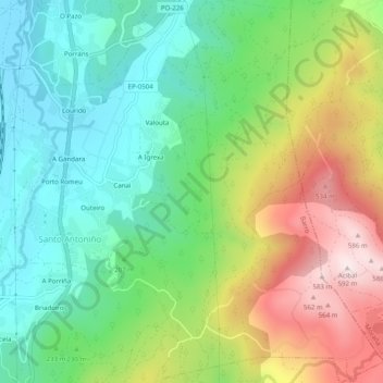
Name: Perdecanai topographic map, elevation, terrain.

Location: Perdecanai, Barro, Pontevedra, Galicia, 36194, España (42.51056 -8.64530 42.54697 -8.59710)

Average elevation: 233 m

Minimum elevation: 29 m

Maximum elevation: 587 m

Other topographic maps

Click on a map to view its topography, its elevation and its terrain.

Valouta

España > Galicia > Pontevedra > Barro

Average elevation: 178 m

Gear up for your next adventure:

❄️Traction Ice Cleats - Slip-on spikes for icy trails and winter hiking
🧰Multitool Knife - Compact and versatile tool for outdoor use
🧳Compression Sacks - Maximize space in your backpack by shrinking gear
🦟Insect Repellent - Keep mosquitoes and black flies away in wooded areas
🧊Portable Cooler - Keep food and drinks cold during outdoor adventures

As an Amazon Associate, this site earns from qualifying purchases at no extra cost to you.