
Andrews topographic map
Click on the map to display elevation.
About this map
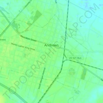
Name: Andrews topographic map, elevation, terrain.
Location: Andrews, Georgetown County, South Carolina, United States (33.43797 -79.58496 33.46057 -79.54750)
Average elevation: 8 m
Minimum elevation: 1 m
Maximum elevation: 14 m
Other topographic maps
Click on a map to view its topography, its elevation and its terrain.
Wachesaw Landing
United States > South Carolina > Georgetown County > Murrells Inlet
Average elevation: 4 m
Huntington Beach
United States > South Carolina > Georgetown County > North Litchfield Beach
Average elevation: 0 m
Litchfield by the Sea
United States > South Carolina > Georgetown County > North Litchfield Beach
Average elevation: 2 m