Geolocate

Tikei topographic map

Click on the map to display elevation.

Tikei

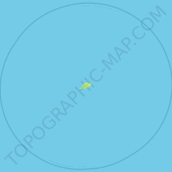
Tikei, also known as Manu, Tikai and Tiku is an island in the Tuamotu group in French Polynesia. Tikei is not a typical Tuamotu atoll, but a separate island. The island is 3.9 kilometres (2.4 miles) long, 1.6 kilometres (1.0 mile) wide, and has a land area of 4 square kilometres (1.5 square miles). Its highest elevation is 3 metres (9.8 feet) above sea level

Wikipedia (CC-BY-SA 3.0)

About this map

Name: Tikei topographic map, elevation, terrain.

Location: Tikei, Takaroa, Tuamotu-Gambier, French Polynesia, France (-15.15999 -144.77073 -14.74239 -144.32391)

Average elevation: 0 m

Minimum elevation: 0 m

Maximum elevation: 16 m

Gear up for your next adventure:

🥾All-Terrain Hiking Boots - Versatile boots for varied hiking conditions
🥾Waterproof Hiking Shoes - Durable shoes for wet and rugged trails
💧Reusable Water Bottle - Durable water bottles for hydration on trails
🧤Rechargeable Heated Gloves - Extreme warmth for Canadian winter expeditions
🧢Outdoor Visor - Breathable visor for sunny hikes

As an Amazon Associate, this site earns from qualifying purchases at no extra cost to you.