
Lac Blueberry topographic map
Interactive map
Click on the map to display elevation.
About this map
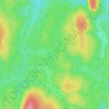
Name: Lac Blueberry topographic map, elevation, terrain.
Average elevation: 253 m
Minimum elevation: 209 m
Maximum elevation: 320 m
Other topographic maps
Click on a map to view its topography, its elevation and its terrain.
Lac Rossignol
Canada > Québec > Notre-Dame-de-la-Paix
Lac Rossignol, Rang Procule Nord, Notre-Dame-de-la-Paix, Papineau, Outaouais, Québec, J0V 1P0, Canada
Average elevation: 202 m