
Molenberg topographic map
Interactive map
Click on the map to display elevation.
About this map
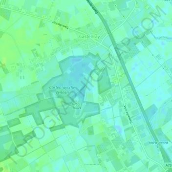
Name: Molenberg topographic map, elevation, terrain.
Average elevation: 25 m
Minimum elevation: 21 m
Maximum elevation: 30 m
Other topographic maps
Click on a map to view its topography, its elevation and its terrain.
Schoot
Nederland > Limburg > Horst aan de Maas
Schoot, Horst aan de Maas, Limburg, Nederland, 5961PA, Nederland
Average elevation: 26 m
Horst aan de Maas
Nederland > Limburg > Horst aan de Maas
Horst aan de Maas, Limburg, Nederland
Average elevation: 27 m