Geolocate

M'Chouneche topographic map

Click on the map to display elevation.

About this map
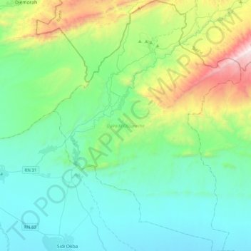
Name: M'Chouneche topographic map, elevation, terrain.

Location: M'Chouneche, M'Chouneche District, Biskra, Algeria (34.74298 5.88880 35.07064 6.18668)

Average elevation: 425 m

Minimum elevation: 28 m

Maximum elevation: 1,884 m

Gear up for your next adventure:

💧Hydration Bladder - Hands-free hydration solution for long treks
🥾Mountain Hiking Shoes - Shoes with superior grip for mountainous terrain
🥾Waterproof Trail Shoes - Shoes designed to handle wet terrain
🔋Emergency Crank Radio - Weather alerts and power without needing batteries
💡LED Camping Lantern - Illuminate your campsite with long-lasting lanterns

As an Amazon Associate, this site earns from qualifying purchases at no extra cost to you.