
Alcotas topographic map
Interactive map
Click on the map to display elevation.
About this map
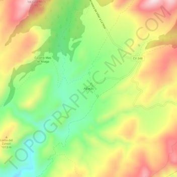
Name: Alcotas topographic map, elevation, terrain.
Location: Alcotas, Los Serranos, Valencia, Comunidad Valenciana, España (39.80063 -0.93807 39.84063 -0.89807)
Average elevation: 942 m
Minimum elevation: 739 m
Maximum elevation: 1,167 m