
Didam topographic map
Interactive map
Click on the map to display elevation.
About this map
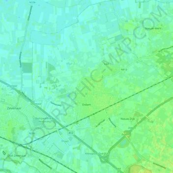
Name: Didam topographic map, elevation, terrain.
Location: Didam, Montferland, Geldern, Niederlande (51.90887 6.08951 51.98052 6.19332)
Average elevation: 13 m
Minimum elevation: 7 m
Maximum elevation: 24 m
Other topographic maps
Click on a map to view its topography, its elevation and its terrain.
Braamt
Niederlande > Geldern > Montferland
Braamt, Montferland, Geldern, Niederlande
Average elevation: 22 m
Kilder
Niederlande > Geldern > Montferland
Kilder, Montferland, Geldern, Niederlande
Average elevation: 27 m