Geolocate

Portage La Prairie topographic map

Click on the map to display elevation.

About this map

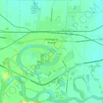
Name: Portage La Prairie topographic map, elevation, terrain.

Location: Portage La Prairie, Manitoba, Canada (49.93496 -98.33875 49.99696 -98.24579)

Average elevation: 262 m

Minimum elevation: 256 m

Maximum elevation: 273 m

Manitoba trails, hiking, mountain biking, running and outdoor activities

Gear up for your next adventure:

🔥Camping Stove - Portable stoves to cook outdoors with ease
🥾Trail Running Shoes - Lightweight and durable shoes for trail running
🛰️Satellite Messenger - Emergency communication for areas with no cell service
🧭GPS Tracker - Track your location in remote areas safely
🔋Emergency Crank Radio - Weather alerts and power without needing batteries

As an Amazon Associate, this site earns from qualifying purchases at no extra cost to you.