
Grenfell topographic map
Interactive map
Click on the map to display elevation.
About this map
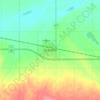
Name: Grenfell topographic map, elevation, terrain.
Location: Grenfell, Saskatchewan, S0G 2B0, Canada (50.37134 -102.97003 50.45134 -102.89003)
Average elevation: 604 m
Minimum elevation: 579 m
Maximum elevation: 652 m