

Frigole topographic map
Click on the map to display elevation.
About this map
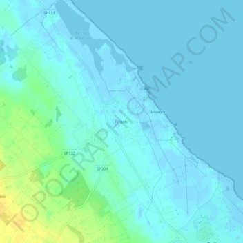
Name: Frigole topographic map, elevation, terrain.
Location: Frigole, Lecce, Puglia, Italia (40.40838 18.22575 40.44838 18.26575)
Average elevation: 5 m
Minimum elevation: -4 m
Maximum elevation: 22 m
Other topographic maps
Click on a map to view its topography, its elevation and its terrain.

Parco Naturale Regionale Bosco e Paludi di Rauccio
Italia > Puglia > Lecce > Lecce
Average elevation: 8 m
