Geolocate

Zoetermeer topographic map

Click on the map to display elevation.

About this map
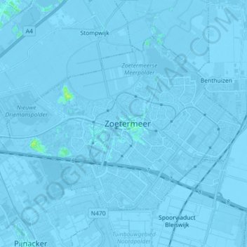
Name: Zoetermeer topographic map, elevation, terrain.

Location: Zoetermeer, South Holland, Netherlands (52.03128 4.41523 52.09329 4.55769)

Average elevation: -3 m

Minimum elevation: -9 m

Maximum elevation: 11 m

Gear up for your next adventure:

🧭GPS Handheld Device - Reliable GPS navigation for outdoor adventures
❄️Traction Ice Cleats - Slip-on spikes for icy trails and winter hiking
🥾Hiking Gaiters - Protect legs and shoes from mud, snow, and debris
🔋Emergency Crank Radio - Weather alerts and power without needing batteries
🧥Thermal Fleece Jacket - Versatile insulation for changing mountain temperatures

As an Amazon Associate, this site earns from qualifying purchases at no extra cost to you.