Geolocate

Zoetermeer topographic map

Click on the map to display elevation.

About this map

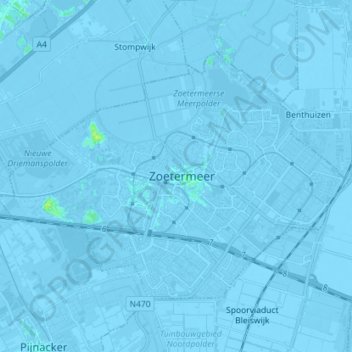
Name: Zoetermeer topographic map, elevation, terrain.

Location: Zoetermeer, South Holland, Netherlands (52.03128 4.41523 52.09329 4.55769)

Average elevation: -3 m

Minimum elevation: -9 m

Maximum elevation: 11 m

Gear up for your next adventure:

🧥Thermal Layer - Insulating layer for cold outdoor conditions
🥾Hiking Boots - Sturdy boots providing ankle support and traction on rugged trails
🦶Anti-Blister Balm - Prevents friction and hotspots during long ascents
🥾Waterproof Hiking Boots - Boots keeping your feet dry in wet conditions
🧼Travel Hand Sanitizer - Keep hands clean when water is scarce

As an Amazon Associate, this site earns from qualifying purchases at no extra cost to you.