
WANGURU topographic map
Interactive map
Click on the map to display elevation.
About this map
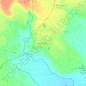
Name: WANGURU topographic map, elevation, terrain.
Location: WANGURU, Kirinyaga County, Kenya (-0.70423 37.33815 -0.66423 37.37815)
Average elevation: 1,148 m
Minimum elevation: 1,128 m
Maximum elevation: 1,178 m