Geolocate

Leisure World topographic map

Click on the map to display elevation.

About this map
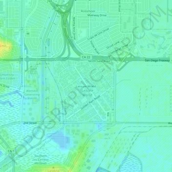
Name: Leisure World topographic map, elevation, terrain.

Location: Leisure World, Seal Beach, Orange County, California, 90740, United States (33.74807 -118.10562 33.78807 -118.06562)

Average elevation: 6 m

Minimum elevation: -3 m

Maximum elevation: 21 m

Other topographic maps

Click on a map to view its topography, its elevation and its terrain.

Gear up for your next adventure:

🧥Ultralight Puffy Jacket - Maximum warmth that packs down to the size of an orange
🦯Trekking Poles - Reduced impact on joints for steep topographic climbs
⛺Lightweight Backpacking Tent - Compact tent for efficient hiking trips
🧤Thermal Hiking Gloves - Grip-enhanced gloves for cold-weather altitude trekking
🚲Heavy Duty Bike Lock - Secure your bike at the trailhead or during stops

As an Amazon Associate, this site earns from qualifying purchases at no extra cost to you.