Geolocate

Toad Lake topographic map

Click on the map to display elevation.

About this map
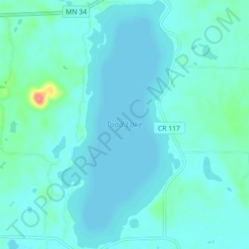
Name: Toad Lake topographic map, elevation, terrain.

Location: Toad Lake, Becker County, Minnesota, United States (46.84430 -95.50709 46.88692 -95.47619)

Average elevation: 464 m

Minimum elevation: 455 m

Maximum elevation: 532 m

Other topographic maps

Click on a map to view its topography, its elevation and its terrain.

Osage

United States > Minnesota > Becker County

Average elevation: 453 m

Gear up for your next adventure:

☕Camping Coffee Maker - Brew fresh coffee anywhere on the topographic map
💡Solar Camping Lamp - Eco-friendly lighting for campsites
🧢Hiking Sun Hat - Wide-brimmed protection for exposed mountain ridges
🌡️Emergency Mylar Blankets - Compact thermal protection for unexpected nights outdoors
🥾Mountain Trail Shoes - High-traction shoes for mountain trails

As an Amazon Associate, this site earns from qualifying purchases at no extra cost to you.