
Sabanagrande topographic map
Interactive map
Click on the map to display elevation.
About this map
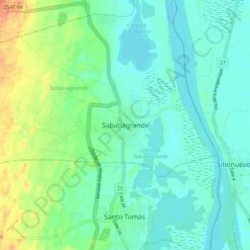
Name: Sabanagrande topographic map, elevation, terrain.
Location: Sabanagrande, Atlántico, Colombia (10.74957 -74.79592 10.82957 -74.71592)
Average elevation: 12 m
Minimum elevation: 0 m
Maximum elevation: 40 m