Geolocate

Fischbachtal topographic map

Click on the map to display elevation.

About this map

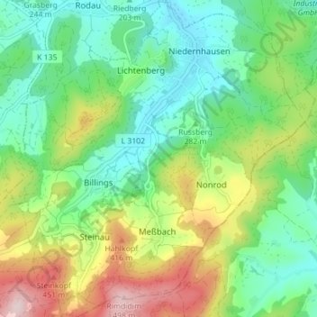
Name: Fischbachtal topographic map, elevation, terrain.

Location: Fischbachtal, Landkreis Darmstadt-Dieburg, Hesse, 64405, Germany (49.73593 8.77550 49.78121 8.83849)

Average elevation: 288 m

Minimum elevation: 159 m

Maximum elevation: 509 m

Gear up for your next adventure:

❄️Traction Ice Cleats - Slip-on spikes for icy trails and winter hiking
🧴Waterproofing Spray - Restore the DWR coating on jackets and tents
🦯Trekking Poles - Reduced impact on joints for steep topographic climbs
🧢Outdoor Visor - Breathable visor for sunny hikes
🧰Survival Kit - Essential gear for emergencies in the wilderness

As an Amazon Associate, this site earns from qualifying purchases at no extra cost to you.