
Gajine topographic map
Click on the map to display elevation.
About this map
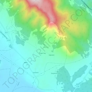
Name: Gajine topographic map, elevation, terrain.
Location: Gajine, Općina Donji Lapac, Lika-Senj County, Croatia (44.52110 15.95381 44.56289 16.00915)
Average elevation: 676 m
Minimum elevation: 533 m
Maximum elevation: 1,099 m